 |
| CEMETERY RAVINE; 8TH ST. AND RITTENHOUSE AVE., LOOKING EAST... |
 |
| ...DITTO, LOOKNG WEST |
 |
| IRON BRIDGE RAVINE, LOOKING NORTH FROM THE HISTORIC IRON BRIDGE... |
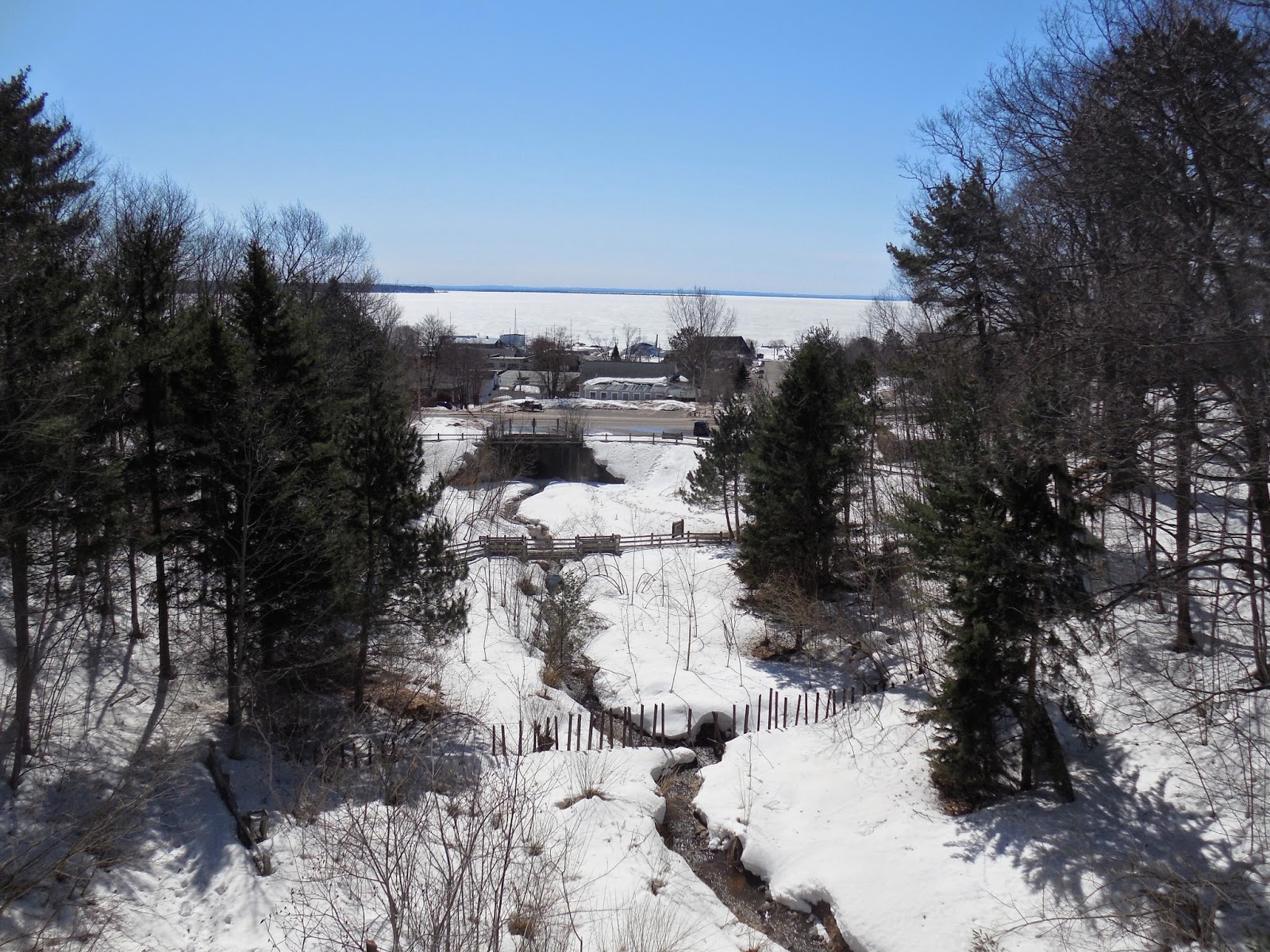 |
| ...DITTO, LOOKING SOUTH |
The little city of Bayfield, founded in 1856, clings to steep Lake Superior bluffs. In typical Nineteenth Century fashion, it was laid out with a compass oriented grid system of mostly straight avenues and streets, without seeming regard to terrain or other natural features. Thus the plan ignored to a great extent the numerous naturally occurring ravines and gullies, large and small. Lots and streets were plotted where major filling needed to be done, and water runoff courses channeled into ditches or enclosed in culverts under streets and lots.
This initial ignoring of the natural landscape has of course caused numerous problems over the years, resulting in shifting and crumbling roads and other infrastructure, many a failed building foundation and perpetually wet basement, and flooding both major and minor.
Some of the ravines were virtually unbuildable, and were eventually incorporated into a system of conservancy areas, many of which exist on private property upon which development restrictions have been imposed. Some of the larger ravine areas are publicly owned or have mixed ownership. The two major ravines and conservancy areas are the Cemetery Ravine, which originates high up in the orchard country along Hwy. J and wends its way through the city to the lakefront and Black Hawk Marina, and the Iron Bridge Ravine, which starts several miles north of town and ends at Washington Avenue, where it goes into a large culvert and then an open channel and is at last diverted into the lake near the Ferry Dock.
Over the years both these ravines have experienced major flooding, with much damage to roads and private property. The Flood of 1942, precipitated by a freak 8" rain storm, decimated the entire downtown area. Much has been done since then to reforest and stabilize ravines and their watersheds and build impoundments to control runoff, including the establishment of the official conservancy areas. As much as has been accomplished, much more could be done in the way of improvement of the formal and informal natural areas, which at present lack any kind of comprehensive management plan.
Today Bayfield has a mixed heritage of rather mindless original development that was typical of the era, overlaid with some very good attempts to control flooding and enhance the natural and built environment. Although many challenges remain, the present ravine conservancy system rewards Bayfield with a rather unique and quite beautiful natural environment that extends throughout much of the city.


No comments:
Post a Comment